   |
|
|
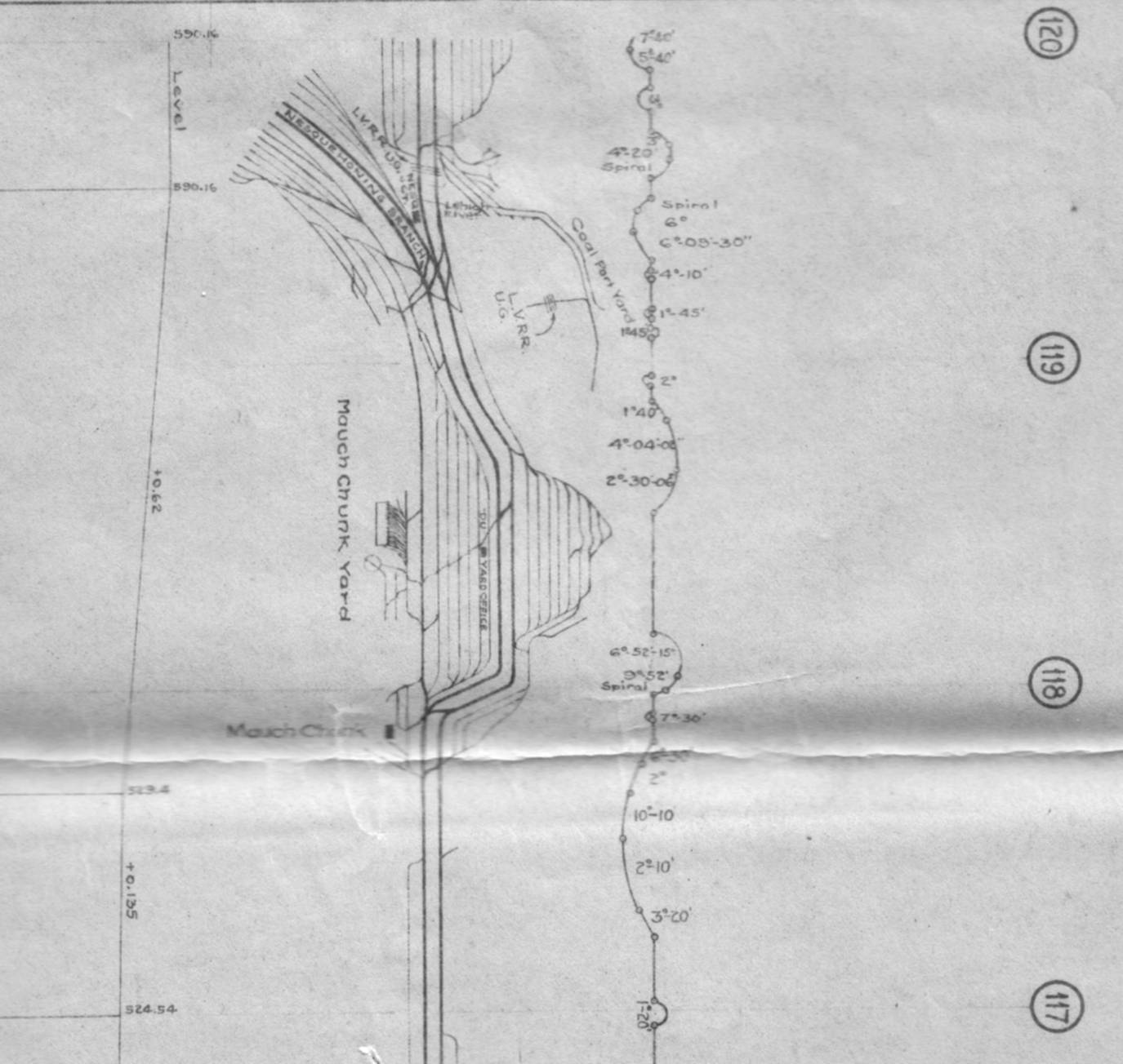
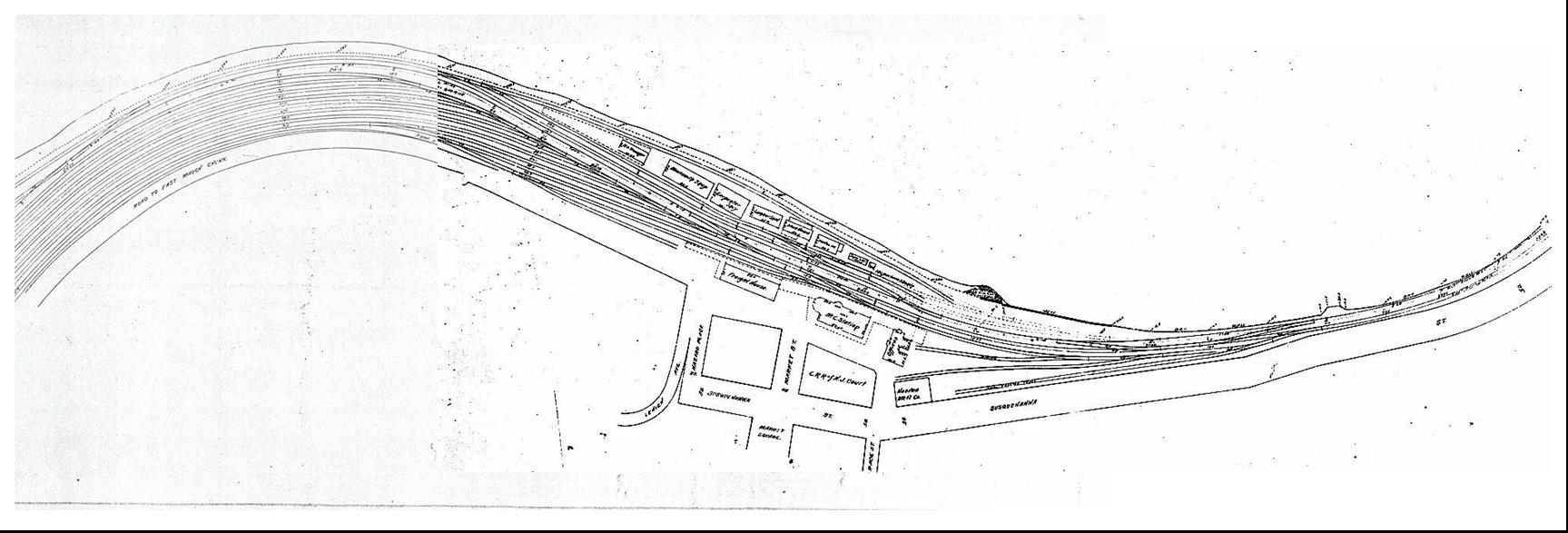
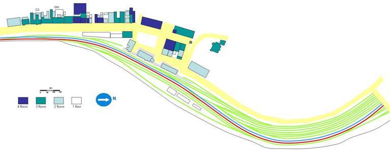
The track diagrams (above left- c1925) were supplied by Tom Biery, the large track plan (above- 1905) by Richard Jahn and the smaller (left- pre-1900) track plan by Bob FIscher. See also the town plan below. Thanks Guys - we couldn't have done it without you. The town plan to the right gives more details of the buildings - especially in
Susquehanna Street - although the track layout is either very old or just plain wrong.
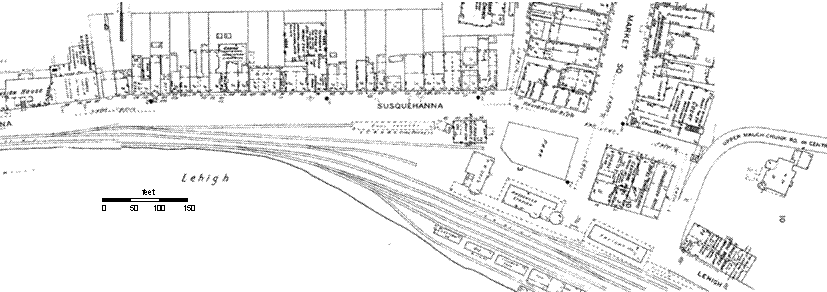
...based on this plan, a close-up of the passenger depot area has been prepared
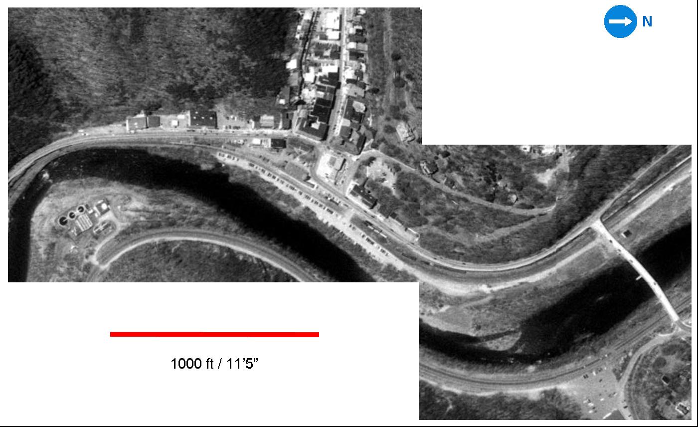
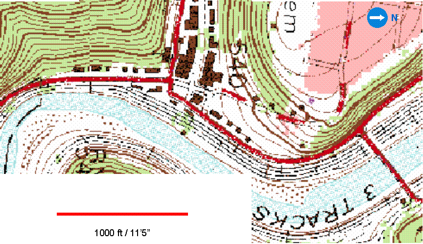
- with numbers refering to the signals numbered on the signalling page. For general interest we also include below a satellite photo and USGS map from
the Terraserver
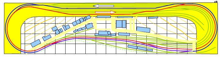
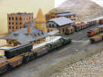
site. This image represents the most recent, working track plan
(version 19) which is also found on the modelling pages. The Lehigh waterfront area of old Mauch Chunk that we are modelling is shown on the plan below (The yard at the right has been compressed - see above, The Lehigh river is at the bottom of the plan. Other detailed town plans (below) are based on the Sanborn map.
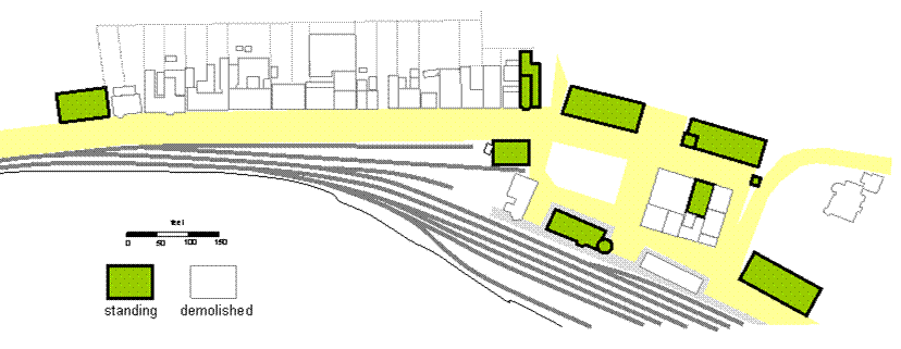
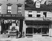
Lehigh riverside area of Mauch Chunk showing showing which buildings from 1930
are still standing. |
|